GPX upload almost useless for windy-created trajectories - suggested fix:
-
Once I'm done with a a trajectory, I might want to publish it and send a link to other people.
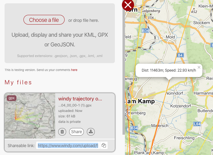
The current windy way is: create trajectory, download GPX, upload GPX, publish link to result.
Unfortunately, this is next to no use as of now, the reasons are:
- most of the relevant info in the trajectory gpx file is lost
- the colors are made up based on speed or all blue, and do not represent what is in the GPX file
Here is an example which shows the deficit - click on a track and you get some made up speed and distance value:

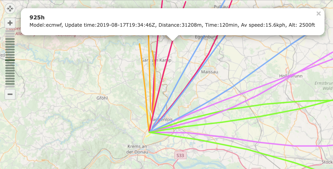
This is what a useful display of GPX file contents looks like (GPS Visualizer)

suggested fix:
- display any data present in the trk segment if present, instead of made-up values
- honor any color values present (see the windy-traj output above for an example on color coding).
This would preserve key information instead of dropping it.
that said - the most elegant windy way would be: create trajectory, press 'share', forward link. Have recipients see what you are seeing as creator.
- Michael
-
an even better GPSVisualizer example: https://blog.mah.priv.at/gpsvisualizer/20191213161729-47167-map.html
click on the points, and the tracks between points to reveal detail information