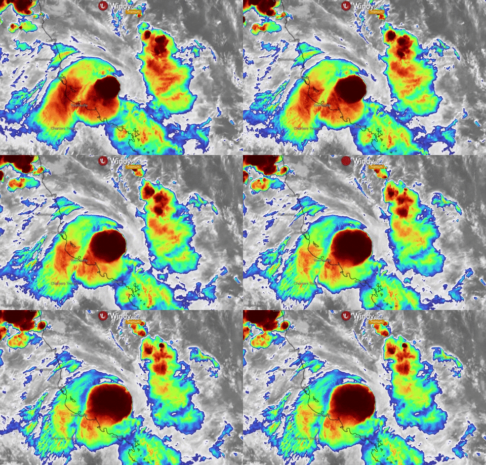
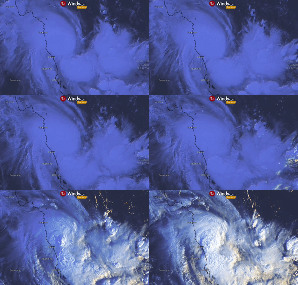
Cyclone Kimi weakens into tropical low
-
Update: 18th of January 10:00 p.m. UTC
Cyclone Kimi has downgraded to a tropical low and it is unlikely it will cross the north Queensland coast now.
Strong winds are no longer expected, however there is still possibility for flooding in areas from Innisfail and Bowen.
Update: 18th of January 11:00 a.m. UTC
Tropical cyclone Kimi intensifies, it is currently a Category 2 and the track of the storm changes very fast.
Kimi remains a very unpredictable and residents should be prepared for life-threatening flooding, especially in areas from Innisfail and Ayr, including Lucinda, Palm Island and Townsville.
Cyclone is still meandering off the coast, travelling southeast about 150km north of Townsville.
The system is expected to pass near the Palm Island within 24 hours.

Update: 17th of January 9:00 p.m. UTC
Tropical cyclone Kimi is currently a Category 2 storm, moving slowly south with maximum winds of 101 km/h (55 kt), located at 16.3S 146.6E.
Kimi is likely to intensify to Category 3 cyclone, but decrease back to Cat.2 strength before landfall, which is predicted to be in the area around Cardwell this evening, local time.

Impacts are likely to be significant, dangerous winds up to 150 km per hour, heavy rainfall together with very high tides and flooding are expected.
A warning is in effect for an area covering from Port Douglas to Lucinda.
https://www.windy.com/-Wind-accumulation-gustAccu?gustAccu,-17.516,147.863,7,internal