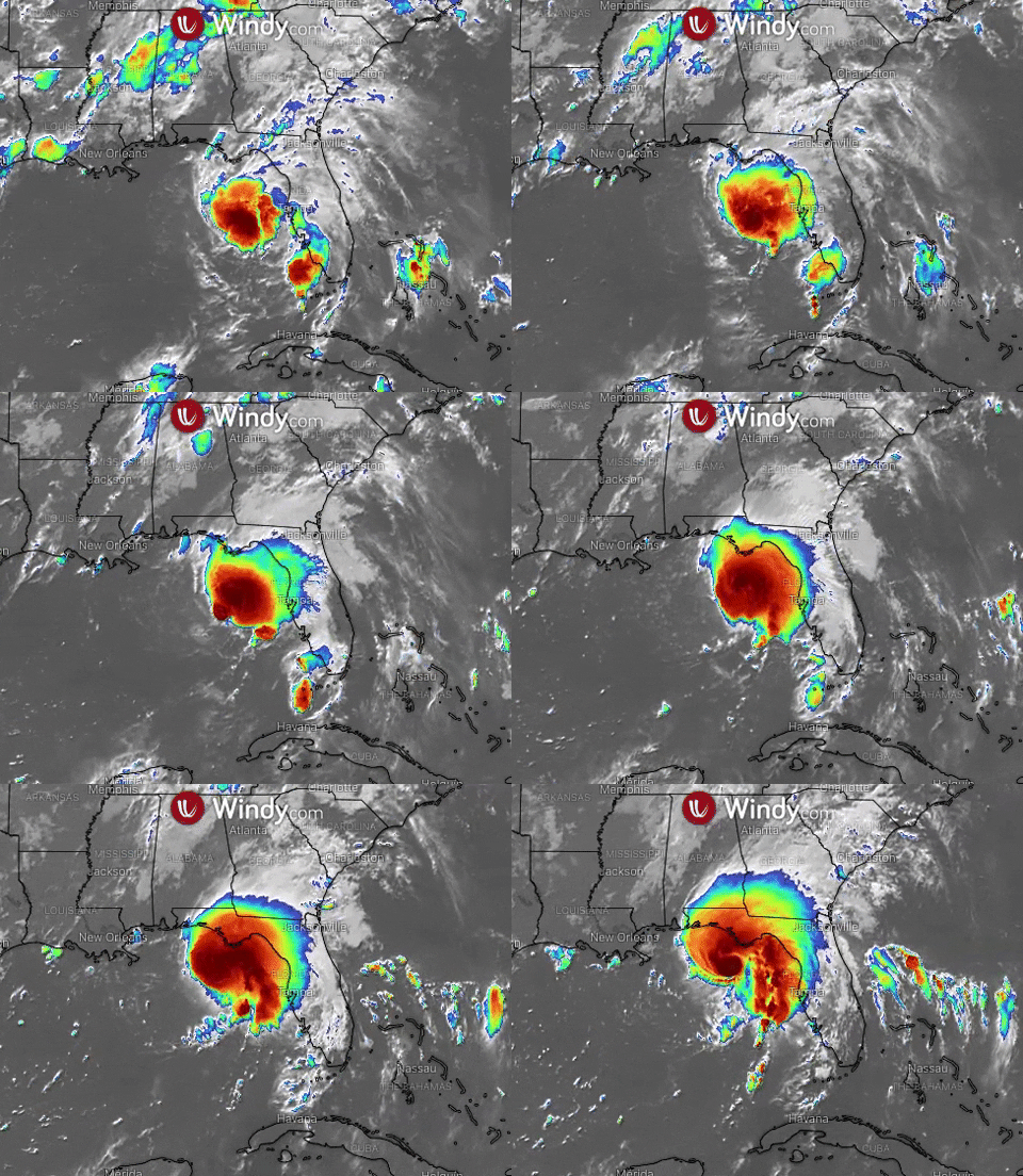
TS Fred is expected to make landfall in Florida Panhandle
-
Update: 16th of August 2021, 2.00 p.m. UTC**
Tropical Storm Fred, currently located near 28.6 North, longitude 85.8 West, is moving toward the north near 8 knots (15 km/h). This general motion with a slight increase in forward speed is expected through today.
The system should move across the northeastern Gulf of Mexico and make landfall in the Florida Panhandle this afternoon or early evening.
Maximum sustained winds are near 46 knots (85 km/h). Some strengthening is expected before landfall. After landfall, Fred should quickly weaken.
Update: 12th of August 2021, 2.00 p.m. UTC**
Located near latitude 20.7, longitude 74.2 West, Fred has downgraded to a Tropical Depression. The system is moving towards the west-northwest near 14 knots (26 km/h) and this general motion is expected to continue, with a decrease in forwarding speed during the next couple of days, followed by a turn to the northwest.
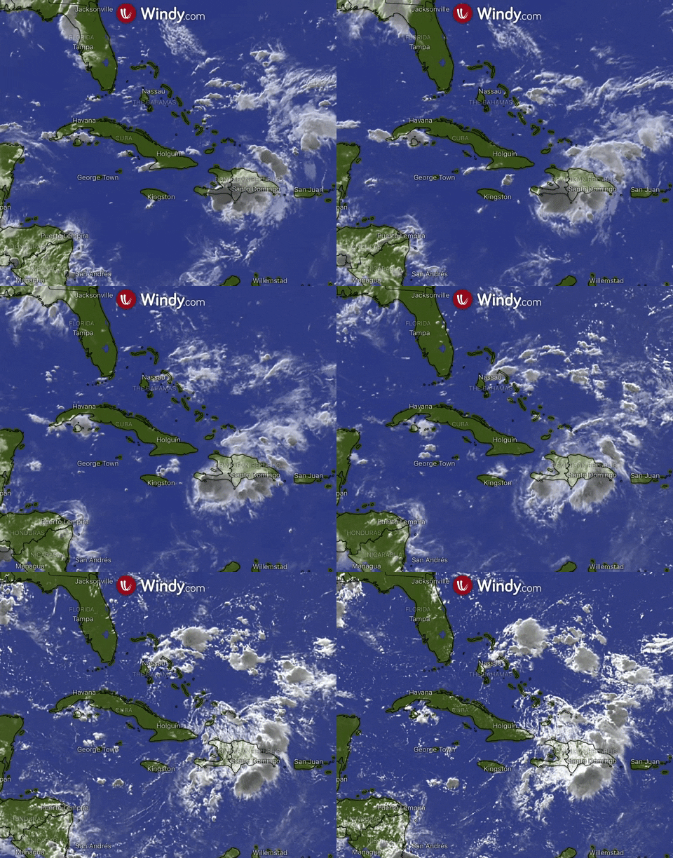
Fred is expected to move across the southeastern Bahamas today, move along or just north of eastern and central Cuba later today and Friday, and be near the Florida Keys and south Florida on Saturday.

Update: 11th of August 2021, 2.00 p.m. UTC**
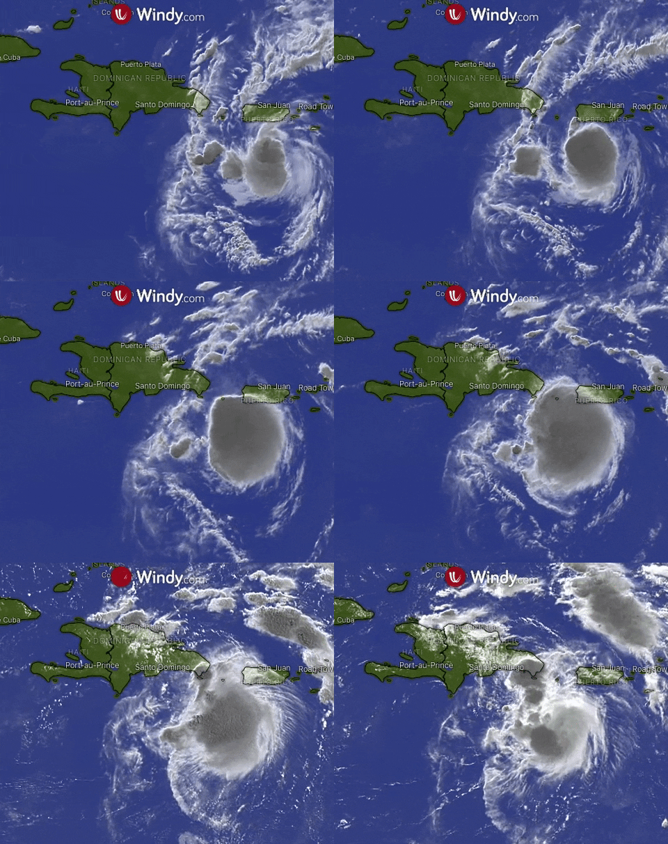
Tropical Storm Fred, located near latitude 18.0 North, longitude 69.1 West, is moving towards the west-northwest near 14 knots (26 km/h). This general motion is expected to continue for the next few days.
It is forecasted that Fred will be near or over Hispaniola later today, move near the** Turks and Caicos Islands** and the southeastern Bahamas on Thursday, and move north of the northern coast of central Cuba on Friday.
Maximum sustained winds are near 35 knots (65 km/h) with higher gusts. It is expected for the system to weaken as it interacts with Hispaniola today.

https://www.windy.com/-Hurricane-tracker/hurricanes?gustAccu,19.725,-74.949,6,internal
-
سلام بانو
-
This post is deleted!