Plot isobars as Shaded 3D
-
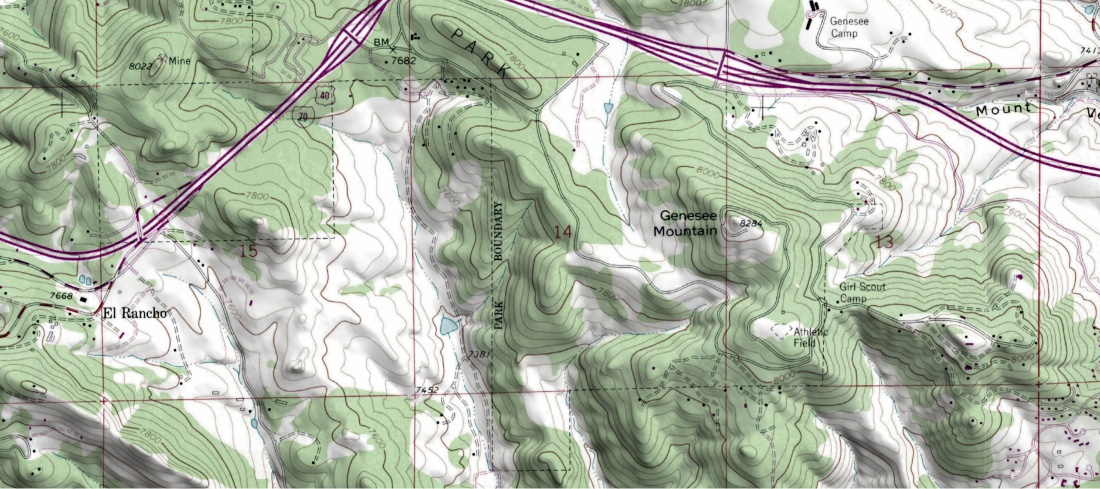
Topo maps are 2D representations of 3D data, but sometimes the data is enhanced with shading to make it look like 3D.
Has this ever been done with barometric pressure data. It wouldn't be a realistic depiction as a shaded topo tries to do. It would be an entirely different way of visualizing pressure data.
Highs and lows would clearly be shown. Pressure gradients would be very obvious.
I don't know if this would really add much to understanding, but it might. Experienced users of topo maps are able to quickly visualize what the 3D terrain looks like from a 2D topo map, yet the shaded representations still provide a lot of information at a glance when planning a route.
I've never seen this done anywhere, but it might be something to look into. I've enjoyed Windy for many years now. Thanks so much for such a valuable day to day resource. It's always the first place I look for weather explanations.
Eric
-
Such a rendering of atmospheric pressure data layer may be pretty disturbing in 3D mode [:o)---
It would look similar to this 3D representation of the geoid - an equipotential surface of the gravity field. -
-
Topographic maps render "contour isolines" which are beautiful because they perfectly embrace the Earth relief (i.e. what users expect to get on screens as 3D Earth).
I'm not sure isobaric surfaces (with or without isolines), would get better rendering than the Geoid itself (i.e. pretty ugly/useless for the most of users, I guess).