Typhoon Malou to hit Ogasawara Islands
-
Update: 28th of October, 10:00 a.m. UTC
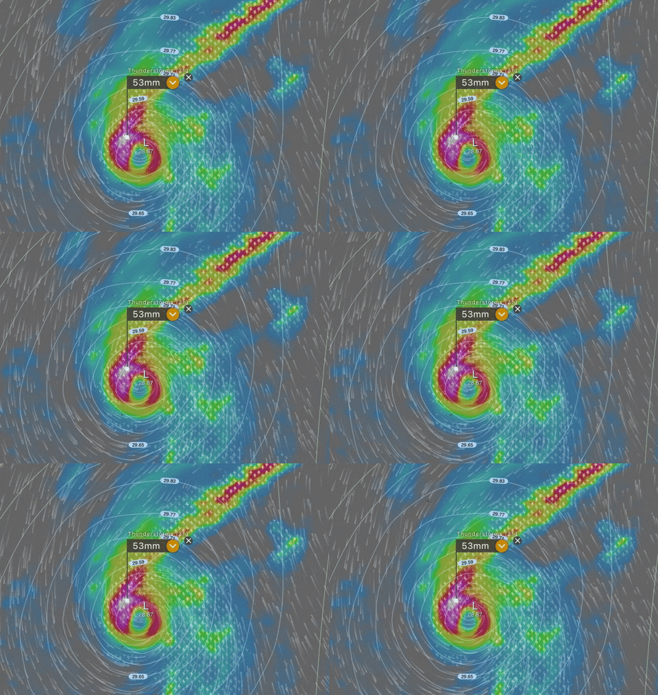
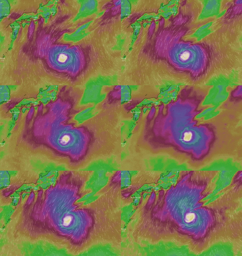
Moderate typhoon Malou is tracking north-northeastward with maximum winds 157 km/h (97 mph). Malou has strengthened overnight and is currently approaching the Ogasawara Islands.
Malou should maintain its strength as it comes closest to the Tokyo’s Ogasawara Islands Thursday evening.
Gusts up to 198 km/h (123mph) are forecast, residents should also prepare for torrential rain, high waves possible landslides due to flooding.

Update: 27th of October, 10:00 p.m. UTC
Strong typhoon Malou has reached high-end Cat. 1 status and can become the equivalent of Category 2 hurricane as it is continues to strengthen tonight and Thursday. Winds are up to 144 km/h (90mph).
Malou will pass directly over Ogasawara Islands on Thursday afternoon, local time. High waves, strong winds and heavy rainfall can be expected in the affected areas.

https://www.windy.com/-Wind-accumulation-gustAccu?gustAccu,24.752,137.095,5,i:pressure,internal