Rai moving away from Vietnam
-
Update: 19th of December, 9.00 p.m. UTC
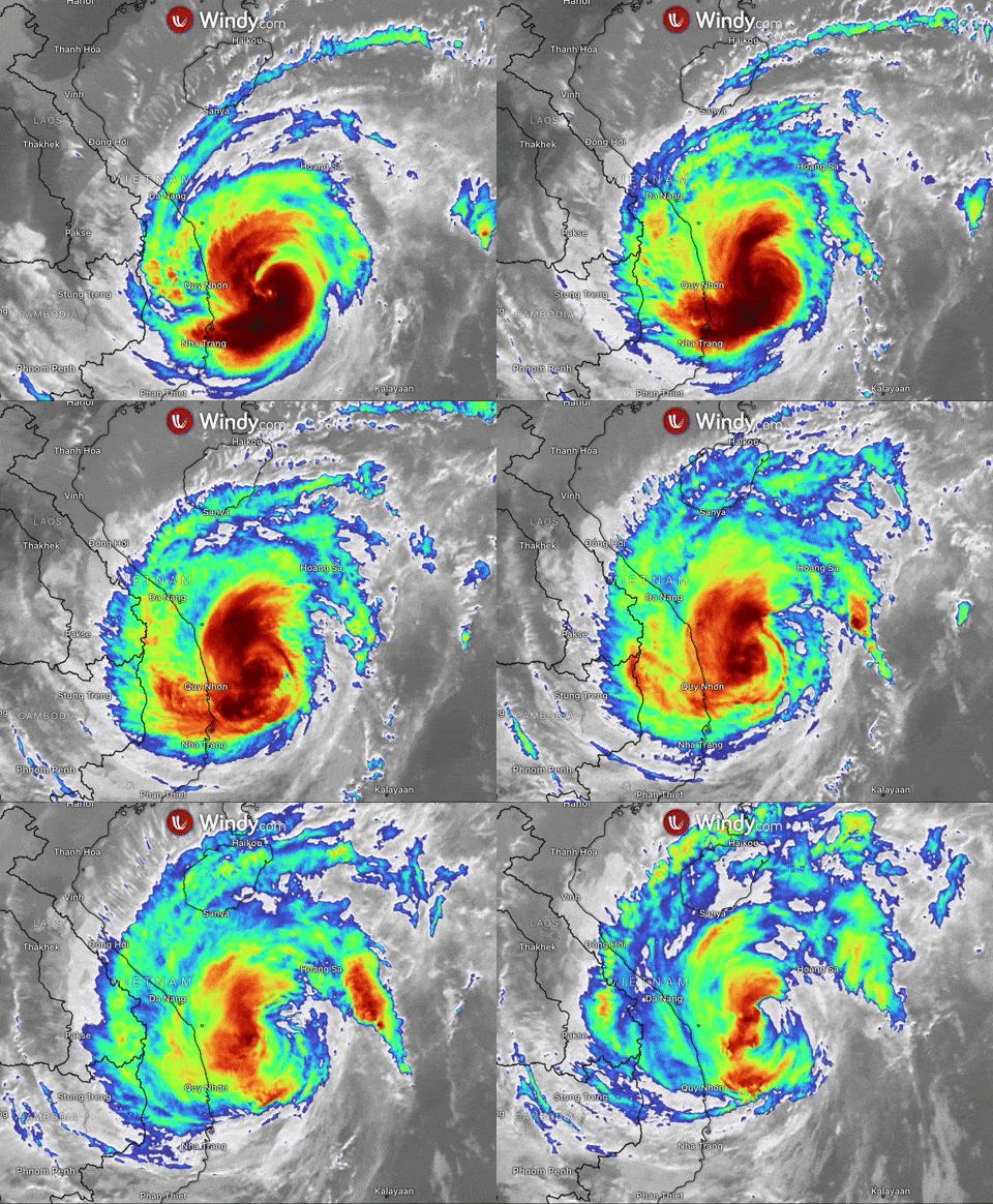
Rai has further weakened to 166 km/h (90 kt). It is located near 16.0N 110.6E, moving away from the North East Coast of the Vietnam with no threat to any land at the moment.
Update: 19th of December, 12.30 p.m. UTC
The intensity of Typhoon Rai has decreased to 222 km/h (120 kt). Located near 14.5N 110.7E, southeast of Da Nang, Vietnam, it is tracking northwestward at 20 km/h (11 kt).
Update: 18th of December, 10.30 p.m. UTC
Typhoon Rai has re-intensified into a Category 5 super typhoon overnight while heading towards the coastal area of Vietnam. Maximum winds have rapidly intensified to 268 km/h (145 kt).
Rai is expected to track north and avoid making landfall in Vietnam, it should begin to gradually weaken.
Update: 18th of December, 12.30 p.m. UTC
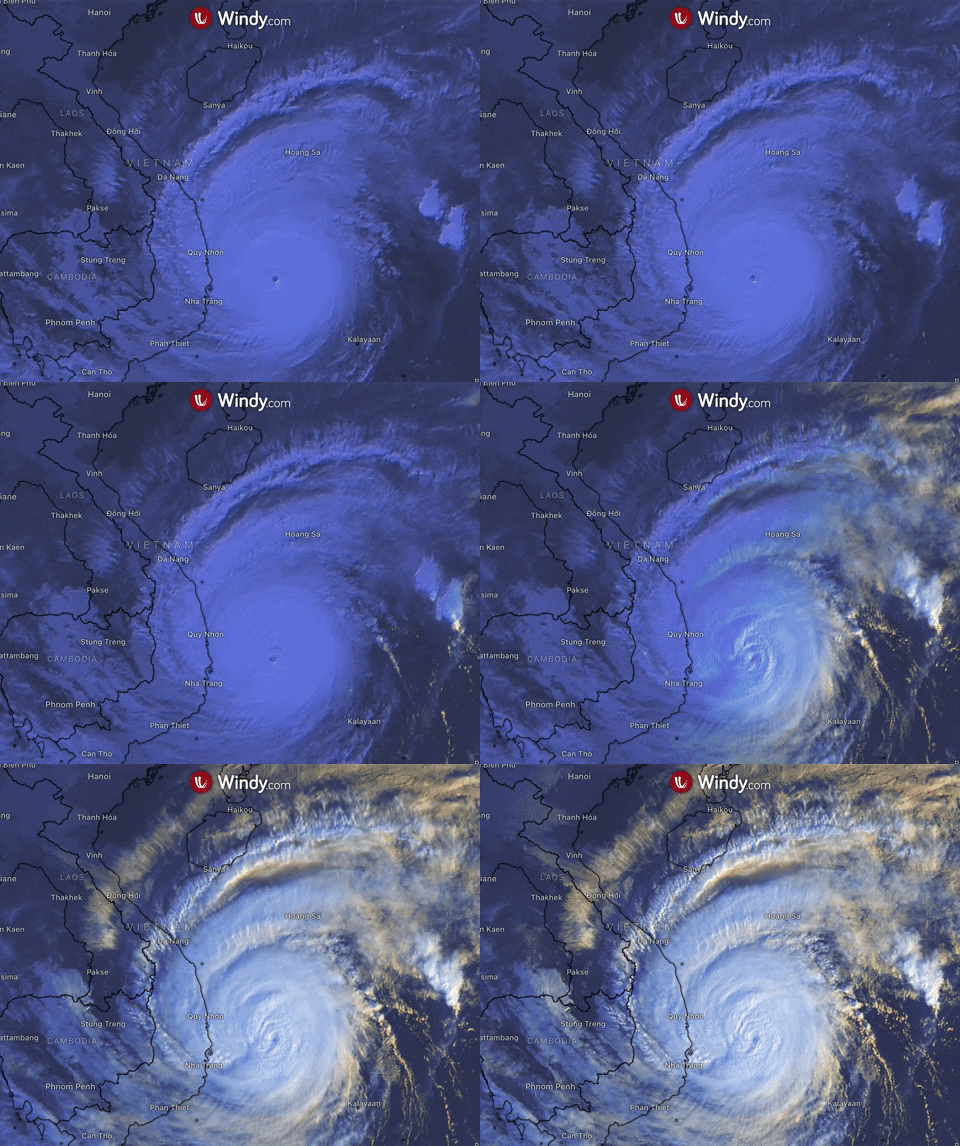
Typhoon Rai (Odette), located near 11.2N 114.8E, is currently moving westward across the South China Sea at 20 km/h (11 kt).
The system Is currently the equivalent of a Category 3 hurricane. Rai is expected to continue a general west-northwest track.
Update: 17th of December, 10:00 a.m. UTC
Rai, positioned near 10.1N 119.9E, is currently crossing the Palawan province with maximum winds of 175 km/h (95 kt) and is on its way to South China Sea.
The system has begun to reintensify once it exits the Philippines, Vietnam might be affected by rain and gusty winds in the following days.
Typhoon should then move north-northeast and possibly impact the Hainan Island and Taiwan from the next week.
Update: 16th of December, 9:00 p.m. UTC
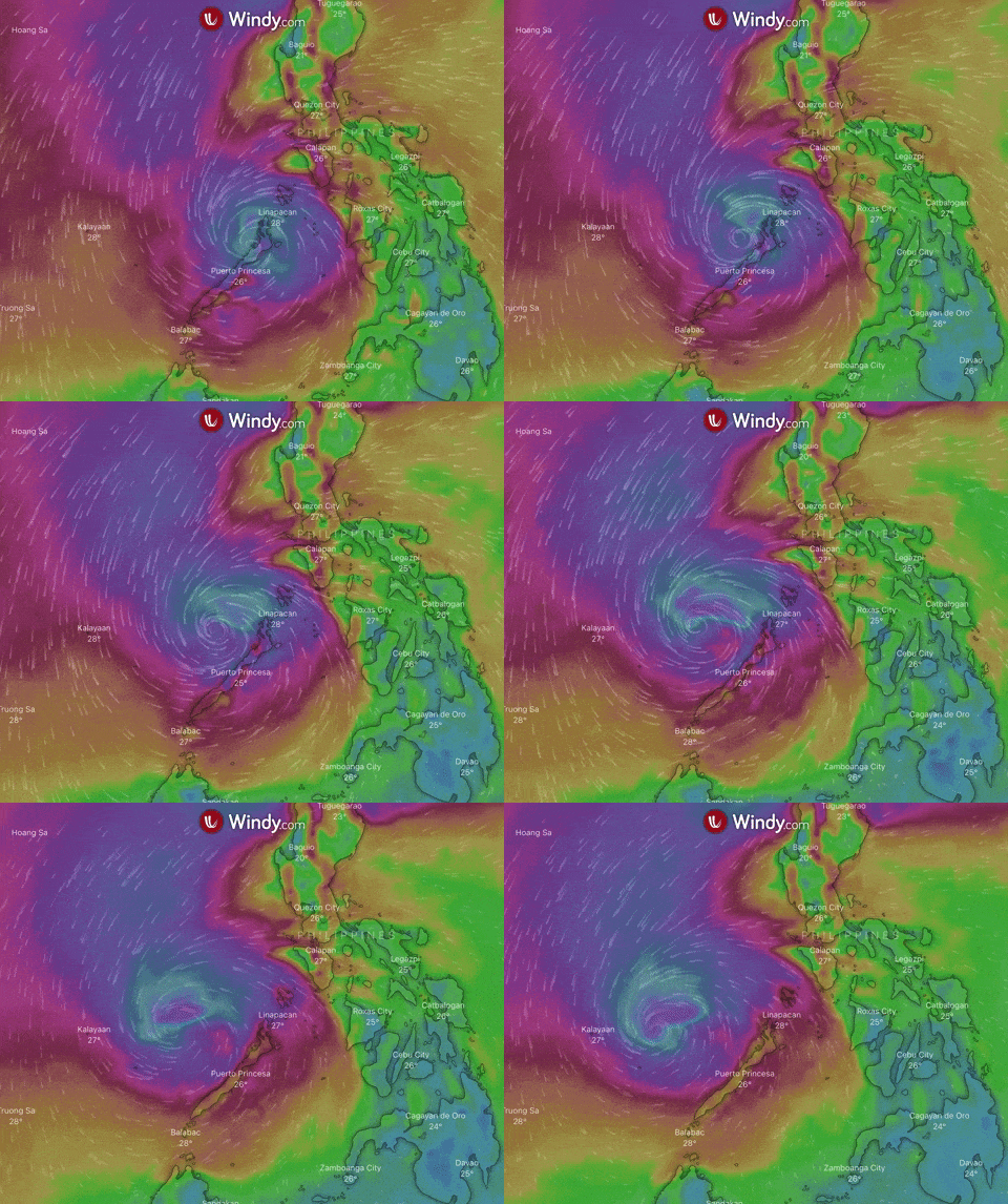
Typhoon Rai (locally Odette) is located approximately 514 km south-southeast of Manila, currently moving towards Palawan province.
The storm has weakened to Category 3 typhoon with maximum winds of 203 km/h (110 kt). According to the latest forecast, weakening should continue as Rai moves northwest across the Philippines through Friday.
Impacts
Heavy rain still remains a threat along Rai’s path as it treks westward through the Philippines. Rainfall will cause landslides and flooding.
Life-threatening storm surge is also forecasted for the coastal areas.
Update: 16th of December, 9:00 a.m. UTC
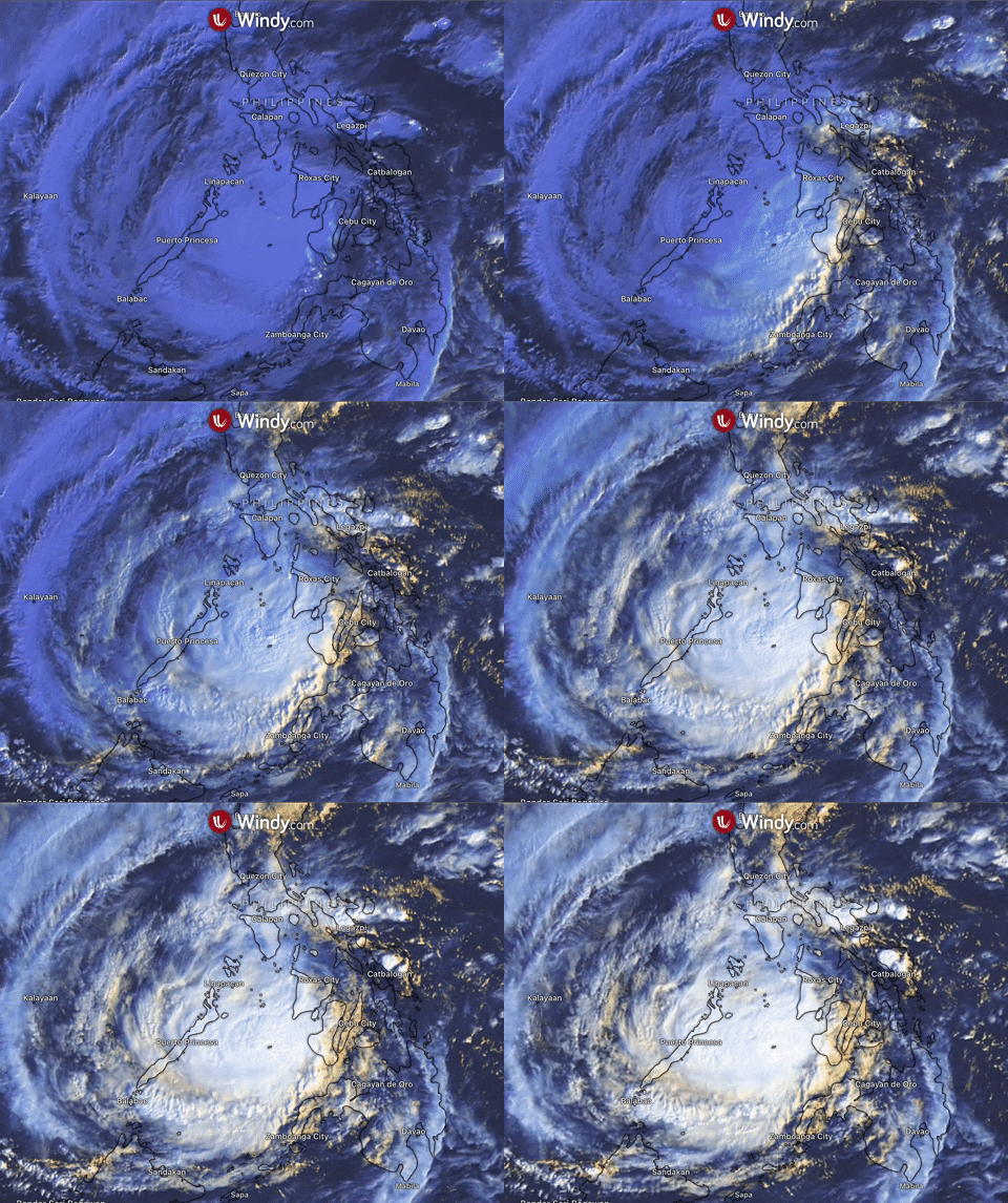
Typhoon Rai (locally named Odette) has gone through rapid intensification and became the equivalent of a Category 4 hurricane.
Rai made its first landfall in Surigao del Norte’s Siargao Island in the early morning hours, next targets are Bohol, Cebu, Negros provinces.
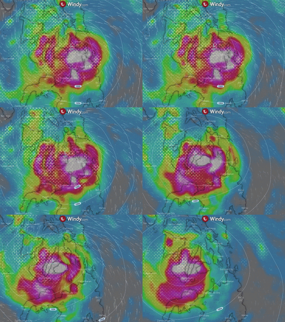
Additional strengthening is expected since favorable contitions such as very warm ocean waters and low wind shear continue across the region. The storm is currently packing winds of 240 km/h (130 kt) and according to forecast winds may reach up to 260 km/h.
Heavy to intense and at times torrential is expected from Thursday morning through Friday morning. Intense rain will cause widespread flooding, flash flooding, and landslides in higher terrain.
Update: 15th of December, 9:00 a.m. UTC
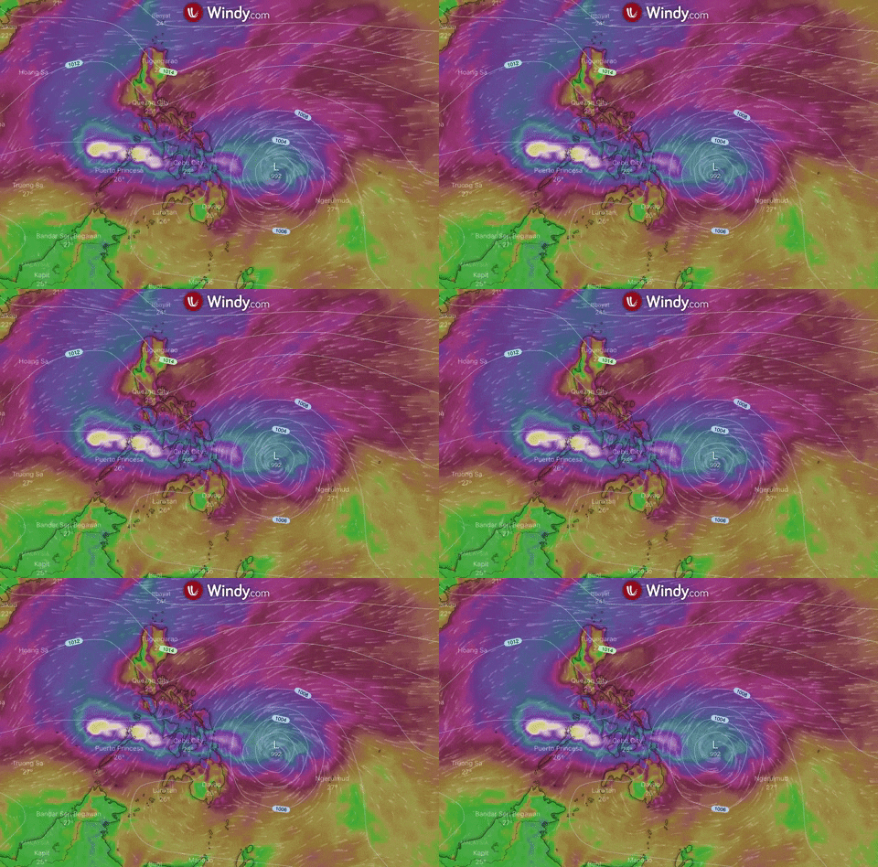
Rai (locally named Odette) has intensified into Category 1 typhoon over the PAR area and is expected to make landfall in the next 24 hours. It is located approximately 616 km east-northeast of Davao, Philippines, moving west-northwestward at 25 km/h.
Typhoon is carrying maximum sustained winds 129 km/h (70 kt) with higher gusts and central pressure of 980 hPa.
Landfall is likely to be in the vicinity of Caraga or Eastern Visayas Thursday afternoon or evening.
https://www.windy.com/-Wind-accumulation-gustAccu?gustAccu,17.151,107.029,6,internal