Windy Community
    • Unread
    • Categories
    • Groups
    • Go to windy.com
    • Register
    • Login

    Windy launches Satellite layer

    Scheduled Pinned Locked Moved Announcements
    article
    458 Posts 357 Posters 1.5m Views 22 Watching
    Loading More Posts
    • Oldest to Newest
    • Newest to Oldest
    • Most Votes
    Reply
    • Reply as topic
    Log in to reply
    This topic has been deleted. Only users with topic management privileges can see it.
    • MDasonM Offline
      MDason @Gkikas LGPZ | Premium
      last edited by

      @Gkikas-LGPZ Having sounding plot is great but would be better if it was plotted as Skew-T or T-Phi

      Gkikas LGPZG 1 Reply Last reply Reply Quote 2
      • MsFrizzle726M Offline
        MsFrizzle726 | Premium
        last edited by

        Site keeps getting better and better.

        1 Reply Last reply Reply Quote 0
        • meteoalfonsoM Offline
          meteoalfonso
          last edited by meteoalfonso

          Thanks for the new feature! What do you think to add watter vapour? Watter vapour is usefull to view what its going on our atmosfere in realtime. Its powerfull for stormchasers to do predictions in very short time.

          1 Reply Last reply Reply Quote 0
          • alejandropooliA Offline
            alejandropooli
            last edited by

            Congratulations for this new great product. You should add a product for Low Clouds or FOG. Like the "GeoColor" RGB of http://rammb-slider.cira.colostate.edu/

            fg.jpg

            1 Reply Last reply Reply Quote 2
            • S Offline
              stitch Meteorologist | Premium
              last edited by

              @ivo

              With your satellite enhancements, is your team accessing these from Eumetsat?

              https://eumetview.eumetsat.int/static-images/MSGIODC/RGB/

              If so, at some stage down the track, would you consider including the "Ash - volcanic activity" and "Fog/Low cloud" enhancements the present satellite options?

              Thx

              1 Reply Last reply Reply Quote 2
              • gpobernardoG Offline
                gpobernardo
                last edited by

                Nice addition! Now with worldwide radar, lightning strikes, and then satellite imagery, Windy is probably the most complete weather information provider available worldwide! Keep them coming!

                Now that I recall, for iOS, it would be nice to have the option to also display (in a separate widget) any of the current weather map layers from the Windy app. Would love to see the latest radar image in a widget, or even IR+!

                1 Reply Last reply Reply Quote 1
                • N Offline
                  NQ0A
                  last edited by

                  You guys at Windy are top notch, this program just keeps getting better all the time. As a long time Skywarn weather watcher this is my goto weather web site. Thanks for all the hard work and the best site on the net period!
                  Mark in Moab Utah...

                  G 1 Reply Last reply Reply Quote 1
                  • jmdsJ Offline
                    jmds
                    last edited by

                    Excellent idea.Please let me know when it is available.

                    1 Reply Last reply Reply Quote 0
                    • OrecaO Offline
                      Oreca
                      last edited by

                      Very nice and useful add on.

                      D.K.

                      1 Reply Last reply Reply Quote 0
                      • DAVEMatthewsD Offline
                        DAVEMatthews
                        last edited by

                        EXCELLENT works well on Mac Book Pro. Keep up the great work. Thanks, Dave Matthews, PhD

                        1 Reply Last reply Reply Quote 0
                        • M Offline
                          mgeigert
                          last edited by

                          I am impressed that you actually installed your own dish. I am very interested in smoke plumes but your current visible image does not display it like the web site that I currently use.July-15,-2019-Satellite.png

                          Any chance of adding this type of visible display?
                          Michael from CT DEEP

                          Michael Geigert

                          1 Reply Last reply Reply Quote 0
                          • bdiddydog1B Offline
                            bdiddydog1 | Premium
                            last edited by

                            Love it! I'm a weather nerd and honestly, you guys have the best app out there.

                            What do the brownish tones stand for? Dry air? There is a lot of smoke coming from the Canadien Wild Fires.

                            TZT 1 Reply Last reply Reply Quote 1
                            • HomoTelepathicusH Offline
                              HomoTelepathicus
                              last edited by

                              Huge thanks to the Windy Team for such a totally awesome site. Do not stop what you are doing. Youre doing it right. Cant wait to see the satellite layer. Been using this site for over 2 years now. Wouldn't use anything else.

                              1 Reply Last reply Reply Quote 1
                              • I Offline
                                Ivanovskiy
                                last edited by

                                The nephogram is good, but I need more borders, such as province, counties...

                                Gkikas LGPZG 1 Reply Last reply Reply Quote 0
                                • Gkikas LGPZG Offline
                                  Gkikas LGPZ Moderator Meteorologist @Ivanovskiy
                                  last edited by

                                  @Ivanovskiy
                                  Have you tried to zoom-in?

                                  1 Reply Last reply Reply Quote 0
                                  • Gkikas LGPZG Offline
                                    Gkikas LGPZ Moderator Meteorologist @MDason
                                    last edited by

                                    @MDason
                                    Try skewT plugin
                                    https://community.windy.com/topic/7541/windy-plugin-skewt-now-running-with-ecmwf-data/7

                                    1 Reply Last reply Reply Quote 1
                                    • TZT Offline
                                      TZ Windy Staff @bdiddydog1
                                      last edited by

                                      @bdiddydog1 Hi! I hope we both are talking about satellite layer :-) The yellow colour is for low clouds/fog while white/blue colours are for high clouds. It is handy to distinguish between these two layers. You can often see how these layers move separately at different speed and in different direction. Also you can observe evolution of the storms (from cumulus to cumulonimbus)

                                      idefix37I 1 Reply Last reply Reply Quote 2
                                      • idefix37I Offline
                                        idefix37 Sailor Moderator @TZ
                                        last edited by idefix37

                                        @TZ
                                        I understood this difference in color based on clouds altitude, but could we know at which altitude the color changes?
                                        https://community.windy.com/topic/8820/windy-launches-satellite-layer/62

                                        TZT 1 Reply Last reply Reply Quote 0
                                        • V Offline
                                          vernonro
                                          last edited by

                                          Great tool. Used this to warn wildland firefighters of incoming cold front with thunderstorms yesterday in northern Ontario, CA. Our location is outside of radar so also used it to advise division supervisors when it was going to be clear enough for them to get out with the helicopters and check on the fire crews.
                                          Thank you
                                          Ontario Fire Behaviour Analyst

                                          1 Reply Last reply Reply Quote 4
                                          • TZT Offline
                                            TZ Windy Staff @idefix37
                                            last edited by

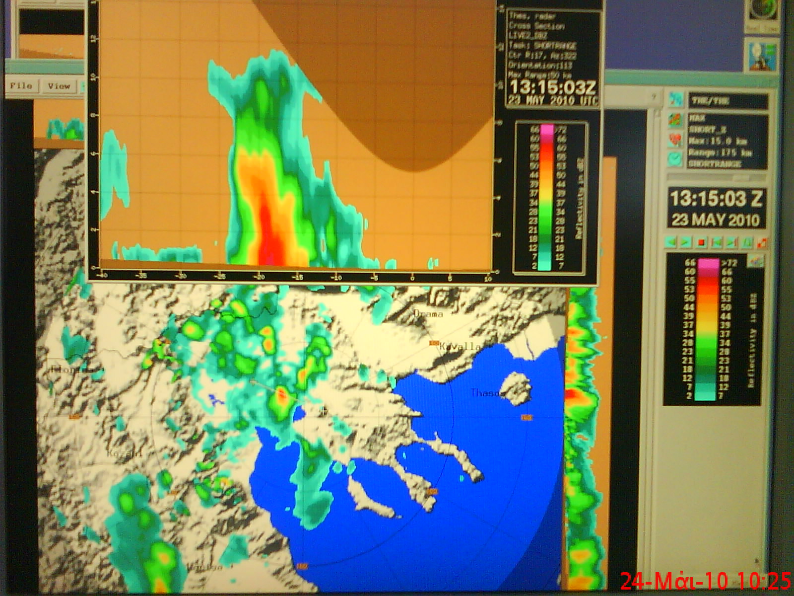
                                            @idefix37 Unfortunately not, the color is based on temperature. So from this imagery it is not possible to determine clouds altitude. Also it is not possible to distinguish between snow and low clouds. It could be possible with some cloud mask products. To sum it up: this is challenge for future ;-)

                                            idefix37I weatherfanW 2 Replies Last reply Reply Quote 2
                                            • First post
                                              Last post
                                            Windy Community  |  Powered by excellent NodeBB
                                            Terms of Use     Privacy Policy     Windy.com